

Carlit 50 Lakes
From lake to lake through the highest peaks in Eastern Pyrenees
The lakes are the joy of mountain landscapes, and on this route we will enjoy them to the fullest!

Distance

Standard time

Lowest elevation

Highest elevation

Cumulative ascent

Cumulative descent


The stages
Route and profile
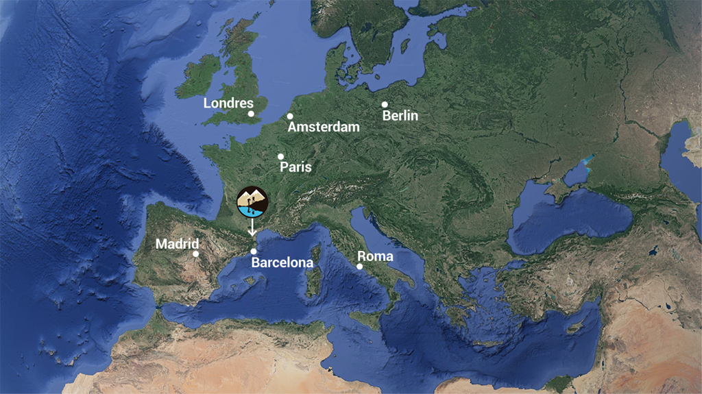
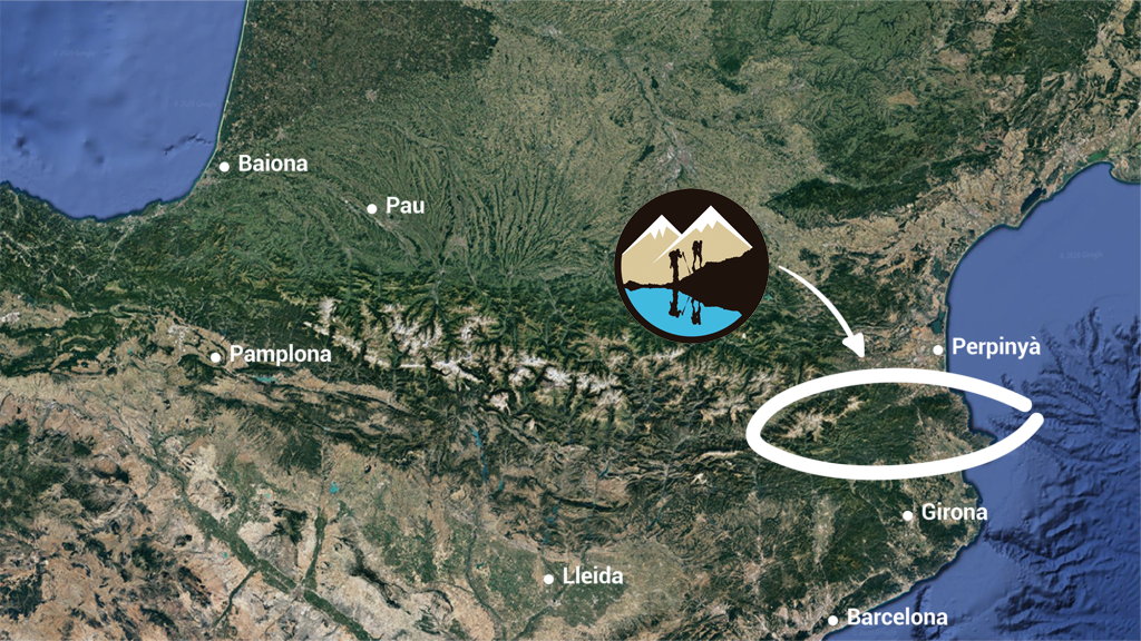
The 71 km spread over five days crossing, connects more than 50 high mountain lakes and allows you to climb the most emblematic peaks of this spectacular sector of the Eastern Pyrenees. Geographically we will between the French Departments of Pyrénées Orientales and Midi-Pyrénées or, in other words, in the border between Occitània and Països Catalans.


Details and operation
Carlit 50 Lakes is a self-guided trip, which you can do on your own, in which we provide you with the reservation of accommodation and all the information and services necessary to walk safely and comfortably. Straightaway we answer the most common questions.
Accommodation
The type of accommodation along the crossing is mountain refuges and a hostel. If you want to rest in a small town before or after walking, you can stay in lodgings as gîte d’étape or hostels.
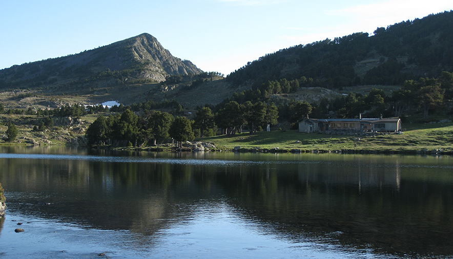
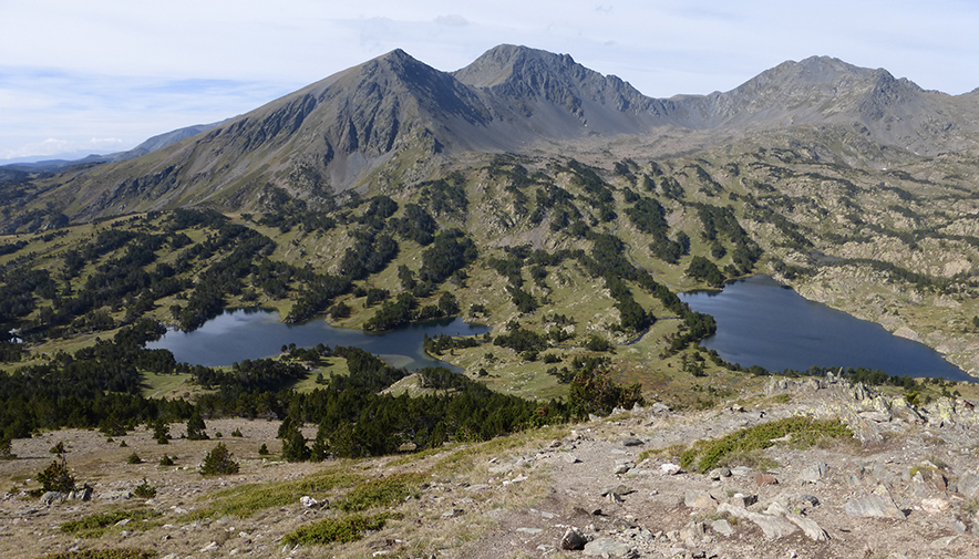
Natural environment
The Carlit 50 Lakes itinerary runs through a high mountain area that is homogeneous at an orographic and landscape level, but quite diverse at a geographical, administrative, and historical level. It crosses a large number of natural interest places, protected by its high environmental value, the fauna diversity that they host, and the high landscape interest that has made it one of the most visited areas of the Eastern Pyrenees. Let’s get to know these places in a bit more depth.
Historical and cultural context
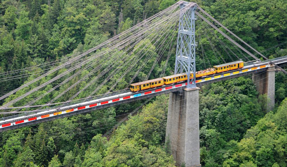
During the crossing we will be between the French departments of the Eastern Pyrenees and the Midi-Pyrénées, or what is the same, between the Catalan Countries and Occitania, between the counties of Alta Cerdanya, Capcir (Northern Catalonia) and the Haut Ariège (Occitania). Despite being a historical zone of linguistic transition, where the Catalan and Occitan languages had so many features in common that they were confused, the etymological differences are already glimpsed by analyzing their toponymy.
The reservation includes
- Centralized reservation for every accommodation
- Half board (dinner, bed and breakfast) with optional packed lunch
- Alpina Publishers map 1:30,000 exclusive Carlit 50 Estanys
- Digital booklet describing the stages of the route
- Exclusive buff from this Route
- GPS track
- Pass card to be stamped at the accommodation
- Exclusive T-shirt from Carlit 50 Lakes
- A Pas d’Isard sack bag
- List of recommended mountain clothing and equipment
- Possibility of purchasing accident insurance
- Sending the package home
- Telephone service 24 hours a day during the route
- The price includes all tourist taxes